
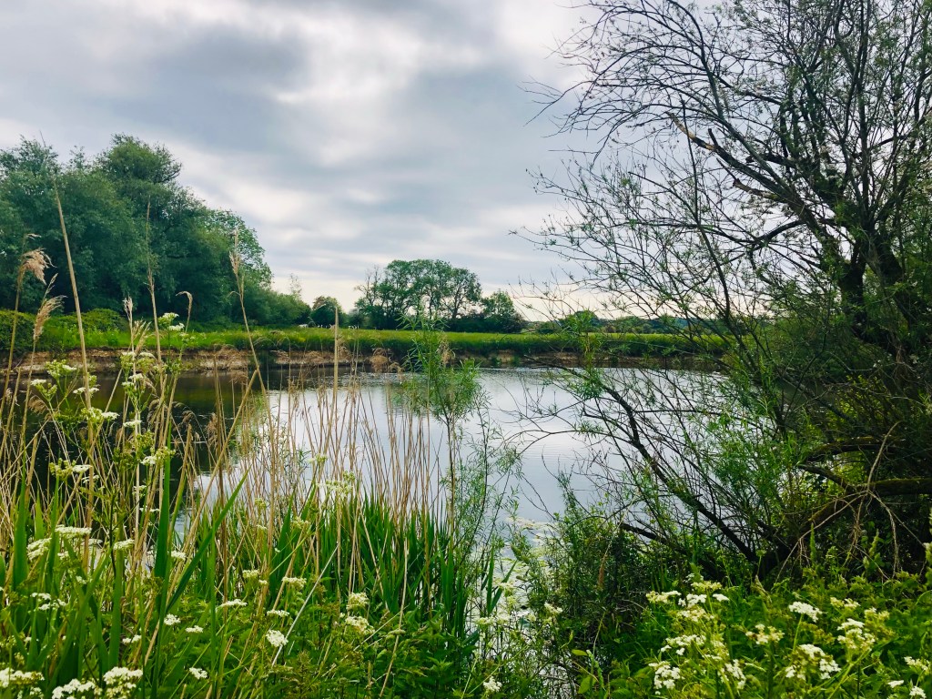
Nestled in the low valley of the Stour, hidden behind the large estate of Kingston Lacy and neighboured by the conurbation of Wimborne, Pamphill is a little gem, glistening along with the water. Buried in woodland with a 17th century manor house and fed by a small local farm shop, its history was endorsed by the Roman arrival and the river crossing they used here between Badbury Rings and Poole Harbour. Taking advantage of National Trust permissive paths, traveling along ancient Holloways, leading to many other long gone river crossings, the route highlights a few perfect spots for elusive wildlife and for dipping toes in the water!

Distance: 3 miles/7km
Duration: 1.5 hours
Ability: Easy.
Max Height: 170ft.
Min Height: 50ft.
Total climb: 140ft.
Terrain: Path, track, road and field.
Map: OS Explorer 118 Shaftesbury and Cranborne Chase
Start Point: Eye Bridge (Postcode: BH21 4EE, Grid Reference: ST995000, What Three Words: excusing.gong.screening)
How to Get There: From Wimborne town centre, head for the hospital on Victoria Road. Turn onto Cowgrove Road that runs along the right hand side of the building and after about half a mile, Eye Bridge will be on your left hand side
Dogs: In accordance with the Countryside Code and any notices on route. If the car park is busy, there are a number of alternatives near Pamphill Green (Postcode: BH21 4ED, Grid Reference: ST989007, What Three Words: hidden.shuttled.awakes)
Refreshments: The Vine Inn on route or there are a number of options in Wimborne.
Subscribe to get access
Read more of this content when you subscribe today.
10 thoughts on “Pamphill”